Day 36: Saturday August 31st, 2019
Location:
4.0 miles of trail covered

Sometimes my feet don't agree with the maps. There are scales of miles that have been stretched, I think, and those are the ones that were laid down across this segment to measure how far it is from end to end. If the entire Underdown segment is only 6.3 miles, then I think my feet hiked the first 6.1 miles by the time the map said we covered 4.0 miles. That means the last 2.3 miles better feel like getting to the end of my driveway, or I'm going to think this whole thing is rigged.
The day was absolutely perfect. 67 degrees, mostly cloudy, light breeze and not at all humid. We really hemmed and hawed about what segment to hike today. We were almost committed to hiking the Turtle Rock segment, but we read a few blogs describing that hike this time of year, and at the last second decided instead to knock off a couple miles of the infamous hills of Lincoln County. We figured the Underdown would be a great way to ease into it, before we tackled the long stretches of Harrison Hills, Parish Hills, and beyond.
We decided to drop our target vehicle at the point where the trail crosses Loop Road, which seemed to be about 2/3 of the way through from the West, which was the way we were hiking. Then we drove to the western end of the segment at the end of Horn Lake Road and started east. It was 12:00 noon.

I have no complaints about the trail. In fact, if all trails were like this one, I think more people would go about hiking the whole thing. It started out slow and lazy, a single track rolling over low hills, showing off the deep hollow kettles and steep hillsides as you go.

Within a short time, we reached the sign proclaiming we were entering the "Enchanted Forest". I have to admit, the walking was very nice, and if you've read any other posts you know I am partial to hemlock woods. This is not the single most enchanting piece of trail I have walked, but the fact that it is wide and easy to walk made it very nice indeed.

 About this time we were passed by a horse (rider included) which explained the signs indicating that this was a multi-purpose trail. Along the way, the woods were full of all the typical trees and ground cover we have come to expect in northern Wisconsin. Sun dappled through the leaves occasionally, speckling the path as we went. Truly, we thought, if the whole of the Underdown segment was like this, we'd have no trouble finishing the entire segment by end of day.

We walked for what seemed a very long time on this nice trail until we finally came to Mist Lake, which we knew to be just over 1/3 of the way. Here is where the time-space continuum first started to warp a little. That felt a lot longer than a mile and a half. Nice, easy walking and all that, but really? Only a mile-and-a-half? We hadn't even hit any of the real hills yet. Time for a break - we sat by the very appealing edge of the lake and let the dog drink her fill. We ate sandwiches and snacked on other stuff for a while, then started the first real climb of the day.


The hill just east of Mist Lake is not too imposing, but this is where the hiker needs to start paying closer attention to the trail. The IAT leaves the comfortable rolling horse trails, and starts sharing time with mountain biking trails, and then branching suddenly off of those trails, at times for no apparently good reason, only to join them again later. But I'm getting ahead of the story.
Partway up the hill, the horse trail goes forward, but the IAT ducks to the right and climbs steeply to the top of the hill. I have a suspicion that if you followed the horse trail, you would eventually encounter the IAT as it comes back off this peak, but don't do it. The climb is worth the effort.

As we worked our way up this narrow, steep piece of trail, we encountered the first of three snags across the trail, where three of the four of us (Theresa, Nicole and Joplin the super-dog) had to hop over, up, and around to get by. I pulled out my hand-saw and hacked my way through, clearing the path for the next person. This required about ten minutes, and I caught up with the group at the top of the ridge, sitting on the Leopold bench placed in memory of Phil Schaefer who was instrumental in developing this segment of trail.
 As we walked down from the top, we saw deer and a whole covey of ruffed grouse. I shall forever think of this as "Phil's Hill", and I found it to be far more enchanting than any other part of the segment.

The trail goes north for a ways, crosses another horse trail, then rises another very small hump, then curves to the east before climbing another significant hill. There is a place where the trail takes a 90 degree corner to the right. This is where I encountered the second of three snags across the trail, and this one was much larger. Nevertheless, I decided to tackle it. As Theresa and Nicole hiked on, I stayed and sawed and dragged and cleared and sawed some more, until there was only one main log left laying across the trail. For whoever does the trail maintenance in this area, you're welcome.

I hustled along, past a big hole on the left, and was just catching up to the others as they started climbing the third real hill of the leg, only to encounter one more snag, a pine tree, obstructing the path. Trails went around in both directions, but this hillside was steep and neither walk-around was much fun. Out comes the saw, and once again I did my boy scout duty to leave things better than I found them. You may now hike past this obstruction and merely glance over and say, 'someone came through and cut that'.
Let me add that I don't take particular pride in clearing branches and even trees off the trail. I do it because I can, and because there are many such people who have done far more than I ever will, chainsawing their way across the countryside, or swinging Pulaski axes until their fingers bled. I'm just doing my tiny part to keep it that way.
So a little farther along, we finally reached the shelter at Dog Lake, and what a wonderful place that is!! I can't say enough about not only the shelter itself, but the fact that it was clean, well-provisioned, and absolutely begging for someone to stay there overnight. There were boards hanging off the walls where people signed and dated their stays, but not a single signature or graffiti mark on the walls. There was a fire ring. A sleeping bench. Several Leopold benches. A shovel. A broom. There was a book to read. There was a tin with fishing lures and a lighter. There was a half jug of clean water. It restored my faith in humans. Some of them, anyway. We spent a little while there, but eventually had to go. I left behind a Ziploc bag with several long pulls of toilet paper, and off we went.

The trail rolled off to the northeast, running up and over three different hills, each of which was starting to feel higher than the last. Twice the trail darted off the perfectly good mountain bike trail into the woods just to go a little higher on the hill. I was starting to wonder about the value of these departures, especially since they were a little tricky to spot and it would be easy to miss the turn-off in every case.
Finally, with one more long, slow up-and-down that covered about a tenth of a mile, we joined up with the horse trail again for a rapid decent to our waiting car.
The time was 4:30 pm; temperature 64 degrees.
Normally this would be the end of the story, but as we were getting the gear off and getting ready to leave, two hikers came through, about to start walking the very trail we just got off. We never got their names, but we did swap trail condition stories with them, and before they left, we refilled their water reservoirs with the water we had left in the car, a little over a gallon. They were appreciative, and told us they might decide to stay at the Dog Lake shelter, so having fresh water made a lot of things easier. We gave the shelter the thumbs up, and told them to have a great night.
Running total: 261.9 miles of trail covered; 29 miles ‘extra’ hiking/biking. End of Day 36.
4.0 miles of trail covered

Sometimes my feet don't agree with the maps. There are scales of miles that have been stretched, I think, and those are the ones that were laid down across this segment to measure how far it is from end to end. If the entire Underdown segment is only 6.3 miles, then I think my feet hiked the first 6.1 miles by the time the map said we covered 4.0 miles. That means the last 2.3 miles better feel like getting to the end of my driveway, or I'm going to think this whole thing is rigged.
The day was absolutely perfect. 67 degrees, mostly cloudy, light breeze and not at all humid. We really hemmed and hawed about what segment to hike today. We were almost committed to hiking the Turtle Rock segment, but we read a few blogs describing that hike this time of year, and at the last second decided instead to knock off a couple miles of the infamous hills of Lincoln County. We figured the Underdown would be a great way to ease into it, before we tackled the long stretches of Harrison Hills, Parish Hills, and beyond.
We decided to drop our target vehicle at the point where the trail crosses Loop Road, which seemed to be about 2/3 of the way through from the West, which was the way we were hiking. Then we drove to the western end of the segment at the end of Horn Lake Road and started east. It was 12:00 noon.

I have no complaints about the trail. In fact, if all trails were like this one, I think more people would go about hiking the whole thing. It started out slow and lazy, a single track rolling over low hills, showing off the deep hollow kettles and steep hillsides as you go.

Within a short time, we reached the sign proclaiming we were entering the "Enchanted Forest". I have to admit, the walking was very nice, and if you've read any other posts you know I am partial to hemlock woods. This is not the single most enchanting piece of trail I have walked, but the fact that it is wide and easy to walk made it very nice indeed.


We walked for what seemed a very long time on this nice trail until we finally came to Mist Lake, which we knew to be just over 1/3 of the way. Here is where the time-space continuum first started to warp a little. That felt a lot longer than a mile and a half. Nice, easy walking and all that, but really? Only a mile-and-a-half? We hadn't even hit any of the real hills yet. Time for a break - we sat by the very appealing edge of the lake and let the dog drink her fill. We ate sandwiches and snacked on other stuff for a while, then started the first real climb of the day.


The hill just east of Mist Lake is not too imposing, but this is where the hiker needs to start paying closer attention to the trail. The IAT leaves the comfortable rolling horse trails, and starts sharing time with mountain biking trails, and then branching suddenly off of those trails, at times for no apparently good reason, only to join them again later. But I'm getting ahead of the story.
Partway up the hill, the horse trail goes forward, but the IAT ducks to the right and climbs steeply to the top of the hill. I have a suspicion that if you followed the horse trail, you would eventually encounter the IAT as it comes back off this peak, but don't do it. The climb is worth the effort.
 |
| Note that the blaze on the left makes you think you should 'head on down the trail' |
 |
| But this is one place where the trail veers sharply, making it easy to miss |

As we worked our way up this narrow, steep piece of trail, we encountered the first of three snags across the trail, where three of the four of us (Theresa, Nicole and Joplin the super-dog) had to hop over, up, and around to get by. I pulled out my hand-saw and hacked my way through, clearing the path for the next person. This required about ten minutes, and I caught up with the group at the top of the ridge, sitting on the Leopold bench placed in memory of Phil Schaefer who was instrumental in developing this segment of trail.


The trail goes north for a ways, crosses another horse trail, then rises another very small hump, then curves to the east before climbing another significant hill. There is a place where the trail takes a 90 degree corner to the right. This is where I encountered the second of three snags across the trail, and this one was much larger. Nevertheless, I decided to tackle it. As Theresa and Nicole hiked on, I stayed and sawed and dragged and cleared and sawed some more, until there was only one main log left laying across the trail. For whoever does the trail maintenance in this area, you're welcome.

I hustled along, past a big hole on the left, and was just catching up to the others as they started climbing the third real hill of the leg, only to encounter one more snag, a pine tree, obstructing the path. Trails went around in both directions, but this hillside was steep and neither walk-around was much fun. Out comes the saw, and once again I did my boy scout duty to leave things better than I found them. You may now hike past this obstruction and merely glance over and say, 'someone came through and cut that'.
Let me add that I don't take particular pride in clearing branches and even trees off the trail. I do it because I can, and because there are many such people who have done far more than I ever will, chainsawing their way across the countryside, or swinging Pulaski axes until their fingers bled. I'm just doing my tiny part to keep it that way.
So a little farther along, we finally reached the shelter at Dog Lake, and what a wonderful place that is!! I can't say enough about not only the shelter itself, but the fact that it was clean, well-provisioned, and absolutely begging for someone to stay there overnight. There were boards hanging off the walls where people signed and dated their stays, but not a single signature or graffiti mark on the walls. There was a fire ring. A sleeping bench. Several Leopold benches. A shovel. A broom. There was a book to read. There was a tin with fishing lures and a lighter. There was a half jug of clean water. It restored my faith in humans. Some of them, anyway. We spent a little while there, but eventually had to go. I left behind a Ziploc bag with several long pulls of toilet paper, and off we went.

The trail rolled off to the northeast, running up and over three different hills, each of which was starting to feel higher than the last. Twice the trail darted off the perfectly good mountain bike trail into the woods just to go a little higher on the hill. I was starting to wonder about the value of these departures, especially since they were a little tricky to spot and it would be easy to miss the turn-off in every case.
Finally, with one more long, slow up-and-down that covered about a tenth of a mile, we joined up with the horse trail again for a rapid decent to our waiting car.
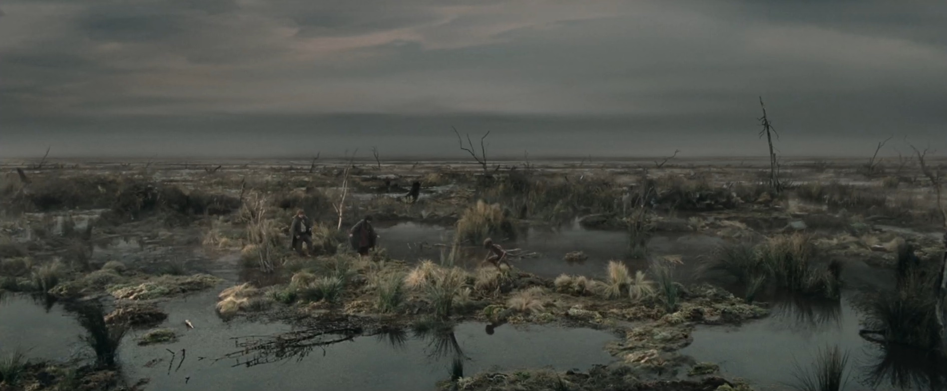
 |
| Topography is difficult to photograph, but this shows the steepness of the hills, some of which you must walk, not "Under" or "Down", but up and over. |
The time was 4:30 pm; temperature 64 degrees.
Normally this would be the end of the story, but as we were getting the gear off and getting ready to leave, two hikers came through, about to start walking the very trail we just got off. We never got their names, but we did swap trail condition stories with them, and before they left, we refilled their water reservoirs with the water we had left in the car, a little over a gallon. They were appreciative, and told us they might decide to stay at the Dog Lake shelter, so having fresh water made a lot of things easier. We gave the shelter the thumbs up, and told them to have a great night.
Running total: 261.9 miles of trail covered; 29 miles ‘extra’ hiking/biking. End of Day 36.