Day 81: Summit Moraine Segment (Part 2), Kettlebowl Segment (Part 1), Langlade County
Day 81: Saturday, July 10th, 2021
Total Miles covered for the day: 6.8
Location 1: The Summit Moraine Segment between the intersection with County Rd B to the west and the fabulous Spychalla Lodge to the east.
5.4 miles of trail covered.
I promised I would say more about the Spychalla Lodge today.
This is a picture of the front entrance to the building.
A couple of nights ago we found ourselves camping in our van rather than at the nice, posh campsites of Jack Lake Campground. It's not the worst thing in the world, and we had all the equipment we needed for that contingency. In addition to the sleeping bags and mattresses, all we need to add for van camping is our Luggable Loo and the Green Elephant pop-up tent for privacy. But as for where to van camp, you can't ask for a much nicer location than the parking area on Park Road right next to the Spychalla Lodge.
First of all, it's flat. Second, it's not covered in grass that's five feet high. Third, no one bothers you if you stay there overnight. Fourth - and this is the big one - Spychalla Lodge is kept open 24 hours a day, 365 days a year. That's right - if you're in the neighborhood, you can walk right up to this modern cabin, turn the lights on (or even the electric fireplace), sit down in one of the many chairs and lay out your dinner there on the large table. There's even a garbage can in there so you can throw away any incidental garbage you create while making your camping meals.
There are windows. The building is completely wind-proof. It has everything you could possibly want with three exceptions.
- No bathrooms
- No running water
- No sleeping allowed!!
Though we were tempted mightily to just haul our cots in here and sleep soundly for the night in amazing comfort, the signage makes very clear that they do not allow people to go in and sleep overnight. And this was further confirmed by the owner/operator at Jack Lake Campground. When we talked to him later about the building and how we had enjoyed our meals in there, and how it gave us a nice, comfortable place to change clothes, he told us that we used it exactly as intended.
He told us that the building was erected with the skiers and Ice Age Trail hikers in mind, and the building is intentionally left open so that hikers can get temporary respite during their travels. It is intended to be a place to relax, to wait out the rain, or to just have a nice meal away from the flies and the mosquitoes. He was happy to hear that we enjoyed it so much, and he was thrilled to learn that one of the important aspects to us was to be able to plug in and recharge Theresa's CPAP battery.
As to the bathrooms, I'm guessing those are only there during skiing season, though we didn't ask about them. They are on the IAT maps, but we never saw them.
So - back to today's hike.
Some days I like to talk about flowers. Other days I like to talk about trees. Sometimes I even talk about the rocks. Today's musings are all about... grass.
Wisconsin is home to 232 known species of native grasses. In addition, nearly 200 species of sedges can be found here, and quite a large number of rushes. Together, they make up a lot of the thin, wispy green stuff that grows - everywhere - that you pretty much ignore unless it needs to be cut. Or unless you find yourself, let's say, immersed in the subject.
You can be excused for not knowing how to tell the difference between a 'grass' and a 'sedge'. You may have never heard of a sedge, let alone a rush. Maybe you've heard of a bulrush, or maybe not. I must admit that until I spent yesterday and today wading through the tall and imposing tangles of the green stuff I have spent very little time thinking about 'grass' in all its taxonomic variation.
And yet even grasses can be fascinating if you slow down enough to appreciate them. Nearly all of them are flowering plants, though the flowers can be quite tiny. But if you think about all the grasses you've ever seen, which one might you think resembled a foxtail, with its fluffy, bending flower plume? Which one might you think of as a bottlebrush grass? Which ones have you ever seen that created a haze of red or purple color alongside the road as you drove, bicycled or walked by? Once you start looking more closely, you'll realize you've been ignoring a vast diversity of native flora that is every bit as important in the environment and food chain as the mighty trees that tower overhead.
So why all this talk about grass? Basically, that was all we could think about as we walked the 5.4 miles between Spychalla Lodge and County Road B. In early July, if no one has been through to mow the grass along this trail you are doomed to an unpleasant day of stomping through grass that is basically like crossing the field back behind uncle Otto's barn. It's OK for a while, but it gets old fast and you start longing for a place to be able to take three steps in a row without something grabbing at you from the knees down.
But I'm ahead of myself, because even though the grass was fairly imposing as we started our hike at Spychalla Lodge, it because obvious fairly quickly that someone had come through recently and mowed a path through all the tall grass, or at least made an appreciable attempt at it. In fact, had that unknown but sincerely appreciated trail volunteer not come through and cut the grass we would have had a much worse day.
 |
| The trail |
It was still long - maybe six inches - and there were places where the cut wasn't successful, but it was clear that they had come through and mowed the first 4.5 miles of the trail within the last 1-2 weeks, and that made all the difference in the world. The cutting was only 16 inches wide and was not well-trodden, but it was nearly always there, guiding us along, and giving us a direction to follow whenever the blazes fell short.
We started at 8:30 am, and the temperature was only 63 degrees. We had reached dew point the night before so the grass was heavy with dew and our feet were soaked within 100 feet of where we started, and we were basically walking on what appeared to be a ski trail.
If you've ever hiked on a cross-country ski trail you will know that while the woods to your left and right can be relatively grass-free because of the tree cover, the path you're walking on can be totally overgrown. And for the first 2 1/2 miles, we had to endure the green, grassy ribbon between the trees.
The foxtail was fun, because it was absolutely, completely in full pollination mode. As we walked through, any tiny disturbance would cause a cloud of pollen to erupt from the flowers, and sometimes it was like kicking dust up on a dry road.
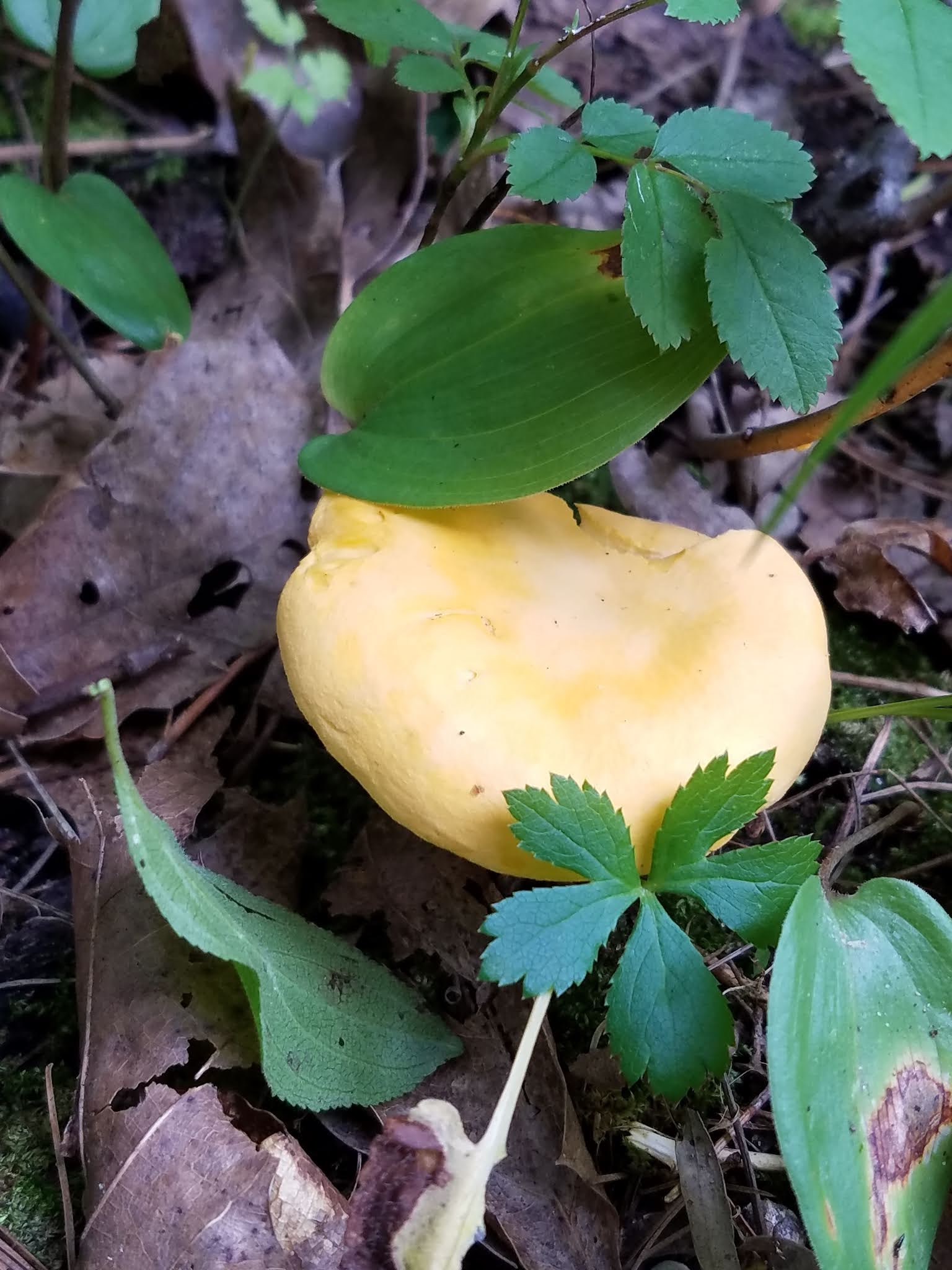
Of course it wasn't all just grasses, but since so many of the wildflowers had spent their blooming seasons in the early spring, there wasn't much else to focus on. Below is a groundcover plant that some people mistake for poison ivy, but this one is totally harmless.
 |
| American Hogpeanut |
And there were even a few wildflowers still around, like the spreading dogbane. I haven't researched this one, but given the name I'd keep your dogs away from it.
 |
| Spreading dogbane |
The ski trail proved to be not too hilly, and we were making the most of the hike. We encountered a flock of young turkeys along the way that kept flying further and further down the trail in front of us and we would kick them up again and again until they finally got smart and went a different direction. We also saw a number of grouse, but those were always a one-and-done experience.
1.8 miles into the hike we got to the next wonderful surprise, a warming shelter for skiers that is also left open year-round, and this one even had a portable outhouse. The building has a picnic table, a wood-burning stove, and even matches and firewood in the event you're there and it's cold outside and you want to warm up a bit.
The building even has a cement floor, which really made me wonder how they managed to get a cement truck in here to pour it, but maybe it wasn't always this overgrown. I even had the opportunity to let this pretty gal go free, since she was stuck on the inside of the window and hadn't figured out how to get out of the open door yet. Ischneumonid wasps are basically harmless, no matter how imposing they look with those five-inch stingers.
 |
| ichneumonid wasp |
After an early lunch, or second breakfast (I think we were basically turning into Hobbits at this point) we headed back down the trail to encounter more grassy stuff.
 |
| Prickly Sedge |
 |
| Early Goldenrod |
And we also saw this reminder that we were traveling in bear country. This is chewed, not clawed, and it was about six feet in the air.
Finally, after two and a half miles, the hiking trail left the ski trail and ducked into the forest.
HEAVEN!!!!
Oh, to be able to walk freely again! To be able to stride, rather than plod! To be able to dance and traverse rather than toil and endure! It only lasted four tenths of a mile, but it showed what this entire trail could be like going through these woods if they just moved off of the ski trails. Maybe someday.
Then, as we left the woods and the trail turned north, we entered the dreaded right-of-way, where the power lines slash their way through. These 80-foot wide corridors are notorious for the way they trap water and mud, creating the perfect storm for terrible hiking conditions, and this one was no exception. Fortunately, however, our faithful and unseen trail angel had mowed a path through there as well and we were able to follow with little difficulty for the very short distance where the trail walked along the power lines.
Additionally, we were able to see a ways off that there is an active nest a few power poles down the line, and two fledgling raptors were hanging out on the edge of the nest for us to watch. They seemed like eagles, but could have been osprey. We never got close enough to tell for sure.
Back into the woods, we had a relatively uneventful hike that went the last one mile until we reached Hwy 45, and that, sadly, was where we lost our friend, the mower of the trail. After crossing Hwy 45 on the brightest, whitest road crossing I have ever encountered, the remainder of the hike was through the awful long grass, back-of-Otto's-barn conditions we had been fortunate enough to avoid the early part of the day.
We spent a good part of the afternoon scouting out future hikes, trying to determine where we could drive and where we couldn't, seeing if it was possible to cut the remaining segments into smaller chunks.
As a preview, the drive up Otto Mauk Firelane is easy, and any car can get to the trail intersection so as to cut that long piece on Lumbercamp Segment in half. The only question is whether you would want to leave a vehicle there while you do it. There are some strange happenings and nightlife up there in the woods, and I'm not completely sure that young women would be safe, especially if traveling alone. My advice would be to hike through, rather than drive up there and park a vehicle as a start or an end to a day's hiking, and for heaven's sake ladies, please don't sleep in your car up there. If you drive that road you will know why, though I won't put a name on it here.
Another thing that made us a little uneasy was that here in the middle of July we saw three trucks full of bear hunting dogs, a full two months before season starts. We determined we would just hike the longer distance, and not until next spring when the conditions were better.
Also, as far as Kettlebowl, we decided that while it is technically possible to drive a car all the way to the gate on South Kent Pond Road, it's not really advisable, and one would still have to walk an extra seven tenths of a mile, twice, in order to shorten the hike. Again - we're waiting for spring, and we're probably going to walk the whole distance.
But when we were done with all that, we had a little time left in the day, so we took on a tiny piece of Kettlebowl.
Location 2: The northernmost part of the Kettlebowl Segment from the western trailhead on State Hwy 52 to the parking area on Kent Fire Tower Road to the south.
1.4 miles of trail covered
There is a road that cuts off of Hwy 52 that may or may not show up on your GPS, but it leads to a nice parking area on Kent Fire Tower Road where you can park to hike the northernmost 1.4 miles of the segment. We left one car there, then drove to the trailhead that is literally on Hwy 52, a little to the north.
We hiked the segment north-to-south, and in retrospect that wasn't the best way to do it, for two reasons. First, if you hike it north to south, you will pick up 160 feet in elevation, from 1660 feet to 1820 feet. It's not a lot, and it's not steep, but it is uphill nearly all the way. Second, if you're hiking south to north you are unlikely to get lost as you get to the ski hill, because getting out is more obvious - just head for the road. Coming the other way, however, there is no easy way to find the trail as it goes south into the woods.
You approach the ski chalet down the road (forget the map - there are no bathrooms here in the summer) and when you get there, you can't see where the trail picks up again. You might be lucky enough to spot a sign that says, "Ice Age Trail 500 feet" pointing in the general direction of the woods, but that isn't a lot of help, except if you stop and remember that 500 feet is nearly a tenth of a mile.
So it's not that piece of woods over there. It's not that dark spot where all the grass has been trampled as people look for the trail. Nope - it's a little further to the west, towards the ski hill. No - a little farther. A little more... There you go! Way up there, out of sight. Off you go now, enjoy the hike!
Which we did. It was actually a very nice walk, for all that it was basically uphill. The canopy was dense, and it was only in brief spots where the sun broke through that we found more of our grassy friends.
Within a relatively short time we reached the waiting car at 5:30 pm, with the temperature at 77 degrees. Theresa's feet were starting to ache again from all the difficult walking, and we were really wondering what, if anything, we would do the next day. The hiking in Langlade County is tough in July, and we were thinking to ourselves, 'There are other places to hike that won't be this hard'.
Running Total: 581.9 miles of trail covered; 64.8 miles 'extra' hiking/biking. End of Day 81.