Day 44: Sunday May 3rd, 2020
Total Miles covered for the day: 1.9
Location: Northern part of the Ringle Segment between County Road N to the north and Meadowlark Lane to the south.
1.9 miles of trail covered.
Location: Northern part of the Ringle Segment between County Road N to the north and Meadowlark Lane to the south.
1.9 miles of trail covered.
After nearly finishing the Ringle segment yesterday, we found it impossible to resist going back to hike this last little piece today and finish not only the segment, but all of Marathon County as well. This was the last gap in our map between Map 39 and Map 45. You may not be impressed, but for us it was something to celebrate.
Even though it made no real difference, we decided to hike the road first, the tiny little walk along Meadowlark Lane to Mole Brook Road. Just a casual hand-in-hand stroll down the road for a quarter mile or so. It was 1:00 pm, and the weather was fine. It was a very breezy 64 degrees, and we then drove up to the corner of County Road N and Heft Road, parking at about N 44 56.568, W 89 20.809 alongside the road.
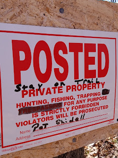
We started down the trail on the Kretz Property, where we could see once again that the trail was going to be rerouted soon. I gotta tell you - the trails that go through this section of the Ringle Segment are among the nicest we have hiked anywhere on the whole Ice Age Trail. And they are moving them. I don't see the point. I really don't. These trails are beautifully groomed and pick a lovely route through the forest. From what I can see of where they are planning on putting the new trail - I'm really glad I did it now, and not a year from now. This is a gorgeous walk through the woods that they are about to turn into an arduous hike. I don't approve.
I suppose I should note the plentiful oak trees, the many maples, the Dutchman's Breaches flowers and other things of beauty that we saw along the way, but I was forever distracted by every strange new turn the trail was going to take, as evidenced by the yellow flags wandering around through the woods, down the hills, through the rock piles, over the boggy areas - I just don't get it.
We ended the day at 3:16 pm as we stepped out of the woods and found the van. We had the opportunity to talk to the landowner there on Molebrook Lane, and he was also quite puzzled by the changes to the trail, and a little miffed about how the IATA people are strong-arming the changes to his land. There's a whole lot of things I don't know about the story on either end, so I won't write any more about it. I just hope the IATA doesn't lose the cooperation of another landowner.
Running Total: 333.1 miles of trail covered; 30.7 miles ‘extra’ hiking/biking. End of Day 44.


No comments:
Post a Comment