Day 102: Connecting Route (x3), East Twin River Segment, Mishicot Segment (Part 2), Manitowoc County
Day 102: Sunday, October 3rd, 2021
Total Miles covered for the day: 7.9
Location 1: The Connecting Route between the Tisch Mills Segment to the north and the intersection of Holmes Road and Rabitz Road to the south
2.9 miles of trail half-covered plus 2.3 miles extra biking
Last night Theresa and I were van-camping in the town of Tisch Mills, at the dead end on Mill Lane. It was a reasonable place to sleep, but really only because we had spoken to the house owner immediately next to the dead end and let hew know we would be sleeping there and why. She was enormously grateful that we introduced ourselves long before dark and told her we would be there, so she wouldn't worry.
Since we got to sleep somewhere between 7:00 and 7:30 last night, shortly after dark, I woke this morning well before dawn. And, because we were in the mode of both of us trying to get in as many miles as possible for the Mammoth Hike Challenge, I decided to get up and start hiking connecting route while Theresa stayed asleep.
Unfortunately, the Tisch Mills Segment, at least in this one area, has a bit of a mold problem, and the air was completely filled with mold spores. As I was getting in and out of the vehicle to get ready to go, the mold, to which Theresa is allergic, created a significant problem for her. While I was able to go on my merry way, she remained behind and suffered the effects of a fairly severe allergic reaction. Unknown to me until much later, Theresa spent much of the next four hours coughing, sneezing, and blowing her nose. Not exactly the peaceful sleep I thought she would be enjoying while I put on miles for the Challenge.
I knew Theresa would be hiking this area later in the week as she stayed to put on miles and I went home to work, so I immediately went to work on the connecting route south of the Tisch Mills Segment. I drove to the west trailhead, where there is somewhat feasible parking on the edge of the road, and started driving south. It was still pre-dawn, and I was evaluating which way I would walk, and which way I should ride my bike.
Eventually, and it took longer than I would have liked, I decided that the best option I had was to park at the trailhead, ride my bike south to the river, then walk back up to the car. I started this exercise just before dawn and had a chilly bike ride down to the East Twin River bridge crossing on Holmes Road.
I finally started walking at 7:16 am, temperature 62 degrees. The skies were overcast and threatening, and I had a rain poncho with me in case the predicted rain started before I would be able to finish.
I had barely started walking before hearing from Theresa on the phone. It was here that I learned she was already up and moving, but I didn't learn the full explanation until after I had completed this section.
As I was hiking, there were several interesting things to see. First was a moose in the woods.

A little later on County Road B I saw this throw-back vintage scene.


Next, I drove down to Holmes Road and met Theresa at the intersection with Rabitz Road. After a brief discussion we decided that I should walk back down to the River to finish off that piece of roadway while she finished trying to recover from her allergic reaction, which took me from 8:19 until 8:30 am. It was 71 degrees, rain was imminent, and it was time for some planning and nutrition.
We knew rain was coming, and it wouldn't be minor. All the dire predictions for Saturday, including thunderstorms and all-day rain, had shifted 24 hours and were now all but certain to be our conditions for Sunday. However, except for the lightning, we knew a little rain wasn't going to kill us, so we planned on hiking anyway.
Where we would hike was a little uncertain. We planned at first to hike connecting route together while it rained, and take it from there, so we drove down to the north end of the East Twin River Segment and dropped a vehicle off at the parking area there (which we immediately recognized as being vastly superior to where we had spent the previous night), and started heading to Mishicot. The rain had started by this point, and after a mile or so we changed our minds and went back to get the car. Being flexible was the only good choice, so we drove both cars into town.
In town we made our way to the Clubhouse Family Restaurant. By the time we got there it was absolutely pouring rain, so we had to make a dash from the cars to the restaurant, and my trail book got a little wet by the time we were inside.
Little did we know that the restaurant was in the process of being sold, and that a week later the restaurant would be closed. As I understand it there are new owners buying the place, so maybe if you're going through town and need a hot meal it will be back in operation by the time you visit. We enjoyed a great breakfast while the weather went from pouring rain to thunderstorms and back again.
While we ate breakfast, we cooked up a new plan. I would hike the rest of the connecting route between Mishicot and Tisch Mills and the East Twin River Segment along the way, while Theresa hiked the Mishicot Segment that I had hiked the day before. This would have the dual benefit of having Theresa cover the ground I had already hiked, while I would hike more trail that she would be covering later in the week.
When we left the restaurant, it was briefly no longer raining, and we took the opportunity to go to Point Beach Campground and set up the tent for camping. Though I would be headed home at the end of the day, Theresa was planning on camping and staying around for a few more days to put on miles for the Challenge. The campground was basically empty when we got there on a rainy Sunday morning, but because Theresa was planning to stay through Friday night, the only site we could find was one of the least desirable, right next to a mosquito pond. The other problem we faced was being just a little too far from the electrical outlet. We needed to be close enough for her to plug in at night, but far enough away to not be in the puddle in the driveway, all while remaining as flat and level as possible. No spot was ideal, so we just made the best compromise possible and went ahead and got set up. We finished just about the time it started misting again, and we got back in the cars and headed for the trail.
We dropped my van off at the north end of the hike I would be taking, and Theresa hauled me down to where we would both begin, going in opposite directions. By 12:13 pm, with the temperature back down to 63 degrees, we finally got back in action.
Location 2: The Connecting Route between the East Twin River Segment to the north and Mishicot Segment to the south.
0.7 miles of trail half-covered
While Theresa hiked south east on the Mishicot Segment, I walked in the opposite direction on the short connecting route that led to the East Twin River Segment. There isn't much to say about this short bit of road, except that it was raining, and I was wearing a poncho. This kept the rain off my head, which was great, but it was an extremely hot garment to wear, and with the several layers I was wearing underneath, I could tell I was going to get wet with sweat eventually. That, and it didn't keep the rain off my shoes.
To see what Theresa was up to, see Location 2b below.
Location 3: The East Twin River Segment
1.4 miles of trail half-covered
I reached the south end of the East Twin River Segment at 12:30. It was a gray, rainy day, and I was hiking alone while my other half was hiking in the opposite direction. This was not the most fun I had ever had on the trail.

An IATCC geocache explains a lot about what you're seeing as you walk through this short, lovely path through the woods and along the river. The boardwalk below crosses an area known as a 'seep'.
Slightly below the thin layer of soil is the extremely hard rock layer known as the Niagra Escarpment. This is the same rock layer that creates the ledge over which Niagra Falls plunges, and water cannot penetrate. As a result, any water that accumulates on a hillside in the ground above the rock must move sideways to escape. When there are flat spots, such as those formed by a river flood plain, an area called a seep develops where the ground is very wet year-round. The long-term result is often a peat bog, or in this case, a muck layer necessary for the formation of a sedge meadow. Hence, the need for the boardwalk.

My thanks to the IATA and the Mobile Skills Crew who came though here in 2014 to put in this and the other boardwalks. I can't imaging how wet this would have been trying to walk through here without them.
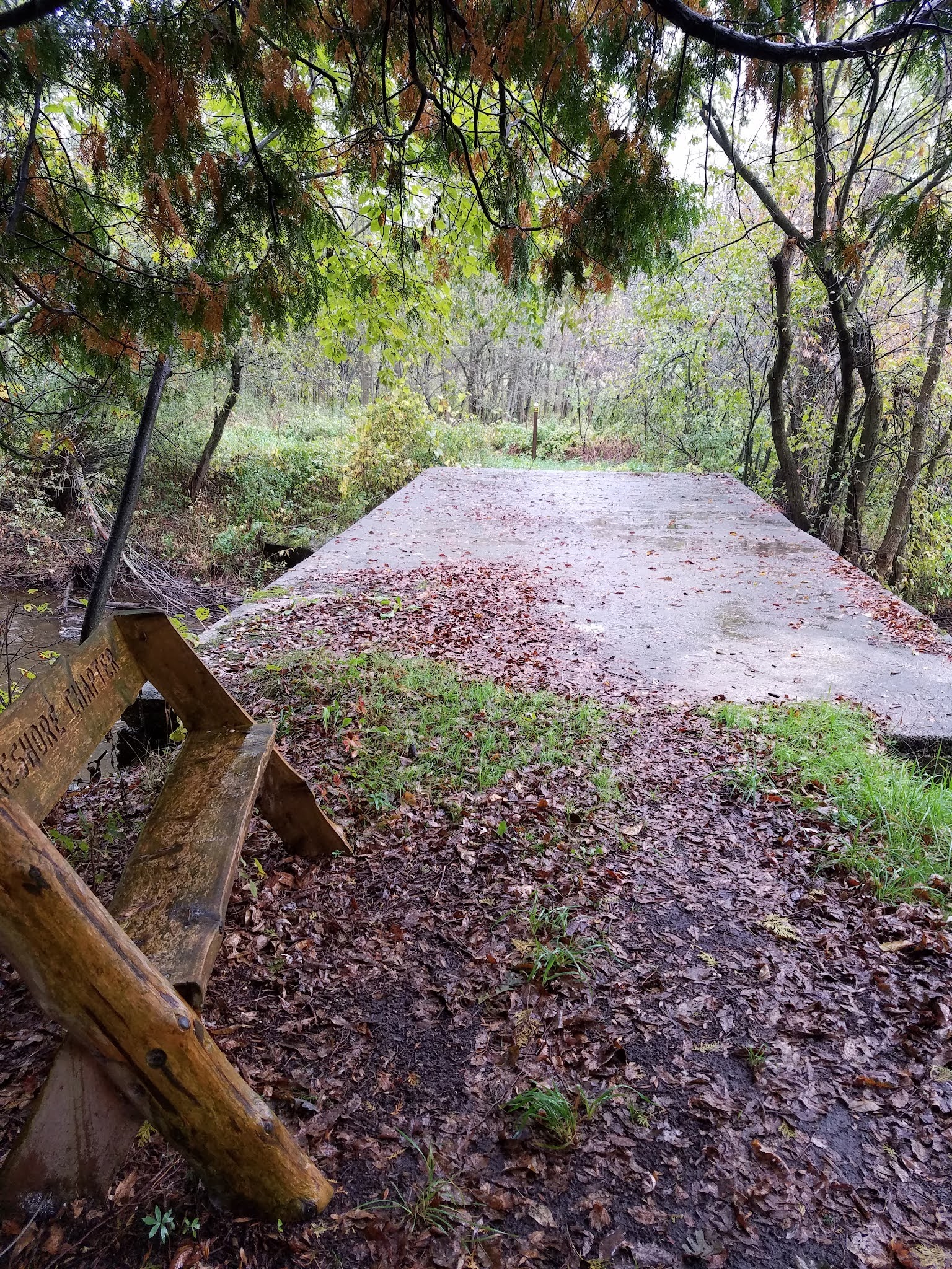
The trail remains fairly close to the river, and as far as I can tell, the proximity to the river is the one and only reason why the IATA chose to place their Distributed Campsite Area where they did.

A little further north I encountered this tree, the "Thompson Family Maple". I don't know the etymology of that name, other than the assumption that it was given in honor of the 'Thompson Family', but it is a magnificent tree. One source claims that this is the largest maple of it's kind in Manitowoc County, and perhaps the state. This claim is made more dubious by the fact that they call it a 'Silver Maple', which is clearly not correct (it's a Sugar Maple'). And while it is an attention-grabbing tree, it's hard to judge the largest tree of any kind without knowing on what parameter the claim is made. It could be the largest circumference, for instance, or it could be the tallest. No basis is given to go with the claim. Certainly, as far as overall height, this is not the record-holder for the state. And, I suppose, one could find another Sugar Maple with a similar girth, through that could take some seeking. But let's not take away from the awesome presence and beauty of the tree by questioning if it is the thickest, or the tallest, or the oldest. Let us take this tree for what it is - a magnificent, awe-inspiring beauty, that, but for the Ice Age Trail, I would never have had the chance to admire. There is a native dignity to any such forest elder, and the tree is worthy of respect no matter how it compares to other trees that may exist somewhere else in the world.
The Thompson Family clearly thought so.

The near total absence of understory, coupled with the uniformity of these trees, made for a unique layered appearance that broke right at eye level, with green above, gray in the middle, and leafy brown below. It was almost like what one would see after a flood of some kind, where the high watermark was visible at a given height, and it went on for as far as the eye could see.


Location 4: The Connecting Route between the East Twin River Segment to the south and the intersection of Holmes Road and Rabitz Road to the north
2.9 miles of trail half-covered
Back on the Connecting Route, I needed to hike another 2.9 miles before reaching the waiting van. Unsurprisingly, though we had advertised our location to the world on Facebook, we had not met any IAT hikers who wanted to walk with us, or even cross paths with us, to get a SnOTT patch.
Off I went down the road. My feet were squishy in my shoes, and I was wishing I had a dry pair of socks and other footwear to change into. The blisters that I felt developing earlier in the hike no longer hurt, which told me they had torn open. Good and bad, I thought. Sort of depends on what I find when I take the socks off in another 2.9 miles.
And I was right about the poncho. I never got wet from the rain, and I was able to keep all my stuff dry, but beneath that impenetrable layer of plastic me and my undermost layers of clothing were soaking wet from sweat. If I hadn't kept moving, I would have gotten hypothermia.
At 1:37 pm, I passed this colorful building at the intersection of Tapawingo Road and Jambo Creek Road. Whatever other mysteries remain about the owner, you can't miss their abundant religious fervor.

Another 'blink and you'll miss it' moment was this mailbox. Hey - the county says you need to put numbers on your mailbox. Who ever said you can't use Roman Numerals?

Wow.


I spent a bit of time changing socks and bandaging up my feet. The damage wasn't too bad. A large and ragged blister on my heel that I patched up with a big bandage and a worn off bit on one little toe that would just have to get better on its own now that I had dry socks on. I called Theresa to find out how her progress was, and got in the van to go pick her up at the far end of her hike.
Location 2b: The Mishicot Segment
2.9 miles of trail other-half-covered
While I was hiking north along the 0.7 mile connecting route between the Mishicot Segment and the East Twin River Segment, Theresa was hiking south. Her goal was the entire 2.9 miles of the Mishicot Segment, which I had hiked the day before.
Theresa started at 12:20 pm. I told her how bad the footing was along the first mile or so where it sliced between farm fields and had suggested she might have better footing on the field itself, but with the rain the field had turned to mud. She had the choice between hiking the weedy, uneven, ankle-twisting trail and turning her shoes into ten-pound blocks. She chose the former.
It was raining, as you already know, so her walk was not anything to write home about. I asked about her recollections, and the first thing she said was, "Do not drive on or park along Pit Road". She shared with me that while she was walking on this 'Private Road! Do Not Enter - Turn Around - This means you!' roadway, which is simultaneously the IAT and the absolute correct place to walk, a person in a truck sat and watched her walking, ostensibly to make sure she walked ONLY where she was allowed to walk and didn't stray to the side to - I don't know - explore the weed-choked side of the road or investigate the mosquitoes or something. In other words, she didn't feel welcomed, and felt that these were the kind of people who would definitely call the cops if anyone was on their road who didn't belong there.
As she got into town, she stopped long enough to take this photo by the Mishicot Historical Museum.

After that, she remembered the covered bridge, (who wouldn't?) and being suddenly uncertain which way to turn. There are blazes there, but in the rain I can see how they would be easy to miss. She did actually call me at this point, and I was able to steer her in the right direction.
She was also surprised and fascinated at the large number of people fishing in that one small area just below the dam. As I shared on yesterday's post, they are all out there fishing salmon, and it's a perfectly ridiculous sight seeing all these men standing in the rain, casting lines into such a small area. It's more cartoonish than anything I ever saw on Saturday mornings on ABC, NBC and CBS as a kid.
Thanks in part to my guiding her in advance she had less trouble determining that she needed to cross the bridge again after leaving the park to make her way to Washington Street. Before long she was at the corner of Randolph Street and Woodlawn Drive, but because there is an arrow pointing east at that corner, and she wasn't sure where the segment ended, she kept walking, and I didn't catch up to her until she had waked an extra four tenths of a mile along the connecting route.
She was more than happy to see me, and to be told she had already reached the end. The time was a little past 2:30, and we were both wet, bedraggled, and ready to be done for the day. I faced a long drive home, and Theresa needed to get settled in back at camp and get some dinner. Morning was going to come very early, and she was planning on hiking with friends the next day.
Brock's Progress on the Mammoth Hike Challenge: 18.2 miles
Theresa's Progress on the Mammoth Hike Challenge: 4.5 miles
Running Total: 736.4 miles of trail covered, 13.7 miles of trail half-covered; 98.8 miles 'extra' hiking/biking. End of Day 102.
No comments:
Post a Comment