Day 144: Pike Lake Segment, Slinger Segment, Cedar Lakes Segment, Washington County
Day 144: Saturday, March 12th, 2022
Total Miles covered for the day: 7.8
Location 1: The Pike Lake Segment
3.3 miles of trail covered
We drove down last night and stopped by Oshkosh to pick up our van. It had conked out on us on our last trip to the region two weeks ago, and we got it back for the sweet sum of about six thousand dollars. Given the alternatives, six grand didn't seem so bad. New vans are running sixty grand. I'd call the repair job a bargain.
We had actually come down on Thursday night to get it, but discovered within a few miles of leaving the dealership that there was still something wrong with it. Oh well. One more day at the shop, and it was running good as new.
Unfortunately, we didn't get to the hotel until 8:30 pm, so there was no time to do any late-night connecting route hiking. Instead, we set our sights on getting up early to make our connections for the day. Not being 100% sure that we would have two vehicles, Theresa arranged for some trail-angel help, and we decided to go ahead and make use of that because we were still on shaky terms with the refurbished van and it would enable us to give away a couple more SnOTT patches.
Since we had set our goal on hiking all of Pike Lake, Slinger and Cedar Lakes, we dropped off one car at the north end of the Cedar Lakes Segment, where we planned to end the day. Then we drove to the Community Drive parking area in Slinger where we were planning to meet our first angel.
We arrived at 9:00 am sharp, and our angel Stacy Schickert was waiting for us. Stacy had recently received one of our SnOTT patches, and was giddy to be able to give us a ride. While we were there, another vehicle pulled up and Jason Solberg eagerly popped out to ask if we were the Snails.
"We are," I told him.
The result, of course, was the awarding of a SnOTT patch. The day was off to a great start. This is Jason Solberg and his trusty golden retriever, Biscuit.
 |
| Jason was thrilled. Biscuit was unimpressed. |
Not too surprisingly, no one was there. There were a couple of reasons. The first was that we had made a tiny error in the group hike instructions for the day, telling people to meet at the Donegal Road parking area. That would have been fine if we were hiking Holy Hill, but since we were hiking Pike Lake that was a bit of a problem. Everything else was there - the itinerary, the direction of travel - but all people saw was 'Donegal' and anyone who would have met us today ended up going on a group hike somewhat south of here and without us.
The second reason no one was with us was that it was bloody cold outside, and the wind was blowing fiercely from the west. With a starting temperature of seven degrees and a steady 20 mph wind, the wind chill was 15 to 20 degrees below. We have done plenty of cold-weather hiking. This was our coldest hike yet. I checked the charts. Theoretically, temperatures this low will create frostbite on skin exposed for more than 45 minutes.
So alone, we started hiking at 9:38 am with blue skies and gusty winds. I took a few finger-numbing selfies and promptly layered back up for the hike.


The 'trail' walks along Glassgo Drive for a while, with a nice open view of a park and waterway to the west. A view is all we got, though. Apparently hikers are personae non grata in their Private Park, and they have the signs up to keep it that way. Notice the nice shelter building and picnic tables in the background.

Not exactly a Trail Community. Their reception was colder than that west wind coming off the pond.
Taking the path that seemed the most traveled (there were thousands of footprints in the snow, going every which way), we eventually found a trail marker about a quarter of a mile later.
The yellow 'blazes' were definitely not what we were used to.

It was our first indication of what was to come.
As we walked, we were perpetually blasted by the wind roaring in off Pike Lake. It kept us moving, and it kept my gloves on. I didn't take any pictures through here. Fairly soon, thought, we reached the large parking area on Kettle Moraine Road. From here, the trail markings just got worse.
If you know the code, you can succeed, but it's different through here. 4x4 posts have multiple colored bands, are placed at trail intersections, and sometimes have no directional arrows at all.

I backtracked and finally figured out the system. If there is an arrow at a sign, it means that ALL the trails go that way. Forget about the other three trails you see - those aren't REAL trails. Follow the little arrow on the sign for the observation tower, silly!!
Along the way we encountered several nice benches and a few other places to sit, like rocks and logs. We also saw a number of other people out hiking or walking their dogs, but none of them ended up getting patches.
We opted not to take the side-hike to go up to the observation tower. I'll probably go back there some day, because this is the site of Wisconsin's oldest geocache, but today we were trying to make miles, and it was too cold and too far off track.
The hills were hilly, but not too terrible. When we made out way down to Powder Hill Road we confirmed that there is absolutely no parking there, but there is a large parking lot just a tenth of a mile or so down the trail.
Across the road, the trail became more broad and open again. After we brushed past the large IAT parking lot the going was more level.

On the north side of the trail there are three large backpacking campsites, each with picnic tables and fire rings. These are not IAT DCA Sites, and I'm not sure what the rules are for using them, but they looked like awesome places to spend the night.

Past the campsites, the Pike Lake Segment ends as a long flat area through a nice cedar grove. Lots of birds, including cardinals, woodpeckers, juncos, chickadees, and others. It was nice to see some birds in the woods.
We came out onto the road (County Trunk CC) and walked north for 0.27 miles. We had briefly been out of the wind for a while, but now we were back exposed on the roadway.
Reaching the end of the Segment, we had a tough time crossing a very busy Highway 60. We ended the Segment at 12:40, and the temperature was up to 13 degrees. It actually felt warmer, but it was still windy and cold.
Location 2: The Slinger Segment
2.1 miles of trail covered
We started our Slinger hike at 12:50, after a brief snack. The sun was shining, and it was 13 degrees. Wind chill was more like seven below now. Much better! No wonder our faces didn't freeze!


Walking through Slinger was entertaining, except that we were too cold to really enjoy it. As I walked past one historical building after another, I kept thinking I should take a picture or two, but never pulled out the phone.
Our car had been left in Slinger at the Community Drive parking area. We got there and checked the phones. Nope. No one planning to join us late. Still hiking by ourselves.
Chuck it, we thought. Let's get lunch.
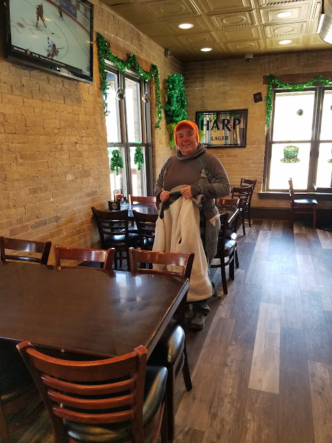
So we turned around and went to the Slinger Inn for a fine meal, getting ourselves all warm and comfy... almost a mistake. Warm and comfy, with a car close at hand... Do we really want to go back out in that cold wind and keep hiking?
There was never really any doubt. We wanted to finish these segments today.


The hike from the Community Drive parking lot is literally a walk in the park. Thanks to the paved walking path...


Location 3: The Cedar Lakes Segment
2.4 miles of trail covered
The Cedar Lakes Segment now extends down the road to meet up with the Slinger Segment, which I forgot to mention now takes a different path through the north end of town than it used to. That means there is no longer a connecting route between these two segments.
We started out with the road walk, a 0.4 mile hike to the east, which kept the wind at our backs for a change.
Then we headed north into the hills again, into a region known as the Polk Kames.

Past the kames, the path became more open again. Thankfully the wind had died down a bit as we took this leg to the west.

You know what - they're hills. At this point the kames and eskers and drumlins are all starting to look alike.
Coming back into the woods again I was happy to see this sign, which I missed photographing during our hike at Southern Kewaskum. We owe a lot to these guys.

Our van was waiting for us, and it was a welcome sight. Angie's car was waiting for her too, so we were on our own. We were also very done for the day. We hiked three segments today, and it felt like it. I don't care that they were short segments, hiking in bitter cold temperatures takes a lot out of you.
I would like to have said we completed some sort of milestone after this, but we didn't. We didn't finish any maps, or any counties. I can't even say we finished all the Segments in Washington County. But I will gladly say to anyone still reading that we finished THREE SEGMENTS TODAY, and that is worth celebrating anytime.

Running Total: 963.9 miles of trail covered, 147.7 miles 'extra' hiking/biking. End of Day 144.
No comments:
Post a Comment