Day 171: Connecting Route, Green and Rock Counties
Day 171: Monday, May 9th, 2022
Total Miles covered for the day: 14.9
Location 1: The rest of the connecting route between Albany and Arbor Ridge, from the east trailhead of the Albany Segment to the intersection of Hill Drive and County Road M.
14.9 miles of trail covered
14.9 miles of trail covered
Holy heat waves, Batman!
Last night we stayed in Whitewater again at the Hincapie Hilton, and today was my shipping out day. I needed to get back to Wausau to go back to work the next day, so I packed up all my stuff this morning and came down to Evansville to pick up again where I left off last night.
This only made sense because Theresa was going to stay one more night in Whitewater and come back here over the next couple of days and finish off anything I might finish today that she won't get done.
Since I can walk faster than Theresa, today was going to be all about me getting as many miles in as possible. Ideally, I wanted to finish the whole 14.9 miles I had left between Albany and the far side of Evansville, and eventually I did, though it took more out of me than I would have expected.
Today we had an unofficial Snail Hike planned, because we had one person who wanted to walk with us along this connecting route. But - she wasn't going to be able to join us until 11:00. So what I did was pack up and leave as early as I could, driving to Evansville and parking my car, then starting west. Theresa would take a more leisurely start and meet me whenever she could, walk with me for a while, then we would go together to meet up with our companion.
And that is how I found myself standing at the very same intersection I stopped at last night at approximately 8:00 in the morning. It was only 65 degrees so far. I don't know what happened to spring, but I guess we're just skipping right ahead to summer. We exceeded the forecasted high, according to my phone, as the temperatures eventually soared up to 86 today.


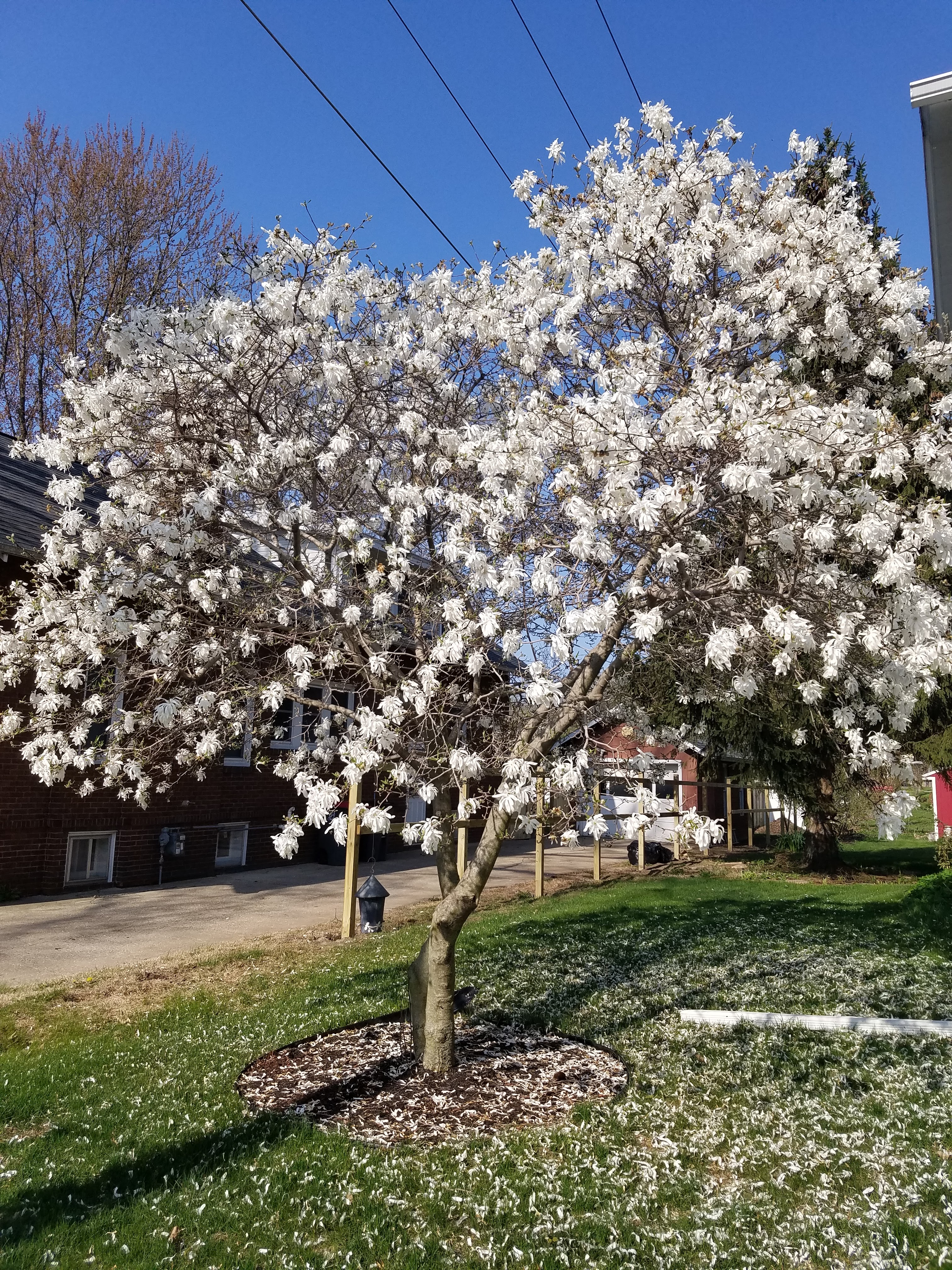
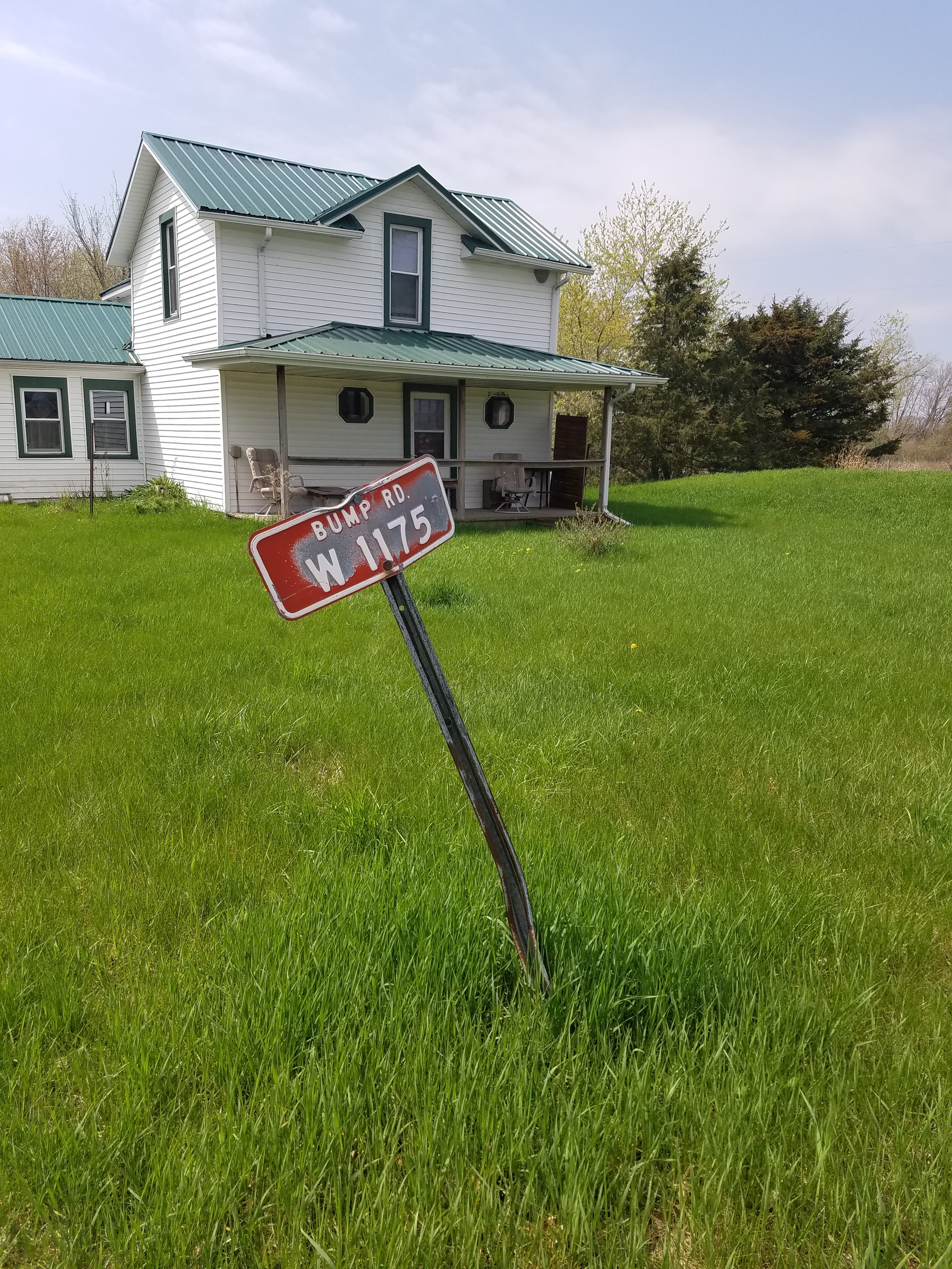
The route through town is charming, and many things caught my eye. I'll let some of the pictures speak for themselves.


We calculated we were about 20 minutes from our meeting place, so we gave it a few extra minutes just in case Flora's Butterfield Bakery was open. Alas - it was not. We've been to Albany a handful of times, but we have yet to be able to stop in and sample the wares.


For our next leapfrog we decided to just go for it. There wasn't really anywhere along Hwy 59 to park, and my stopping point wasn't that much further north, so for our last leg we went all the way there and hiked back to Magnolia Bluff Park, about 4 miles in all.
Old Hwy 92 wasn't too bad, but walking on Hwy 59 was terrible. Definitely one of our top 10 busiest and most dangerous stretches of highway that we had encountered. Maybe it was the heat and punishing sunshine, or maybe it was the fact that I had been hiking more that 14 miles already and my feet had been blistered for the last 13.7 miles, but I couldn't wait to get off that highway.
Karen and I reached the end by 3:30 pm, and she was kind enough to snap this photo for me.

For me, it meant traveling north and going back home, ready to go to work the next day. Tomorrow, Theresa will be meeting up with her own trail angel, Delores Olver, who will be helping Theresa hike off all those silly little gaps on her Far Out maps. (As of this writing that has already taken place.) So between the two days, Theresa and I managed to hike off the rest of Rock County (another patch earned!) and complete the entire dreaded connecting route between Albany and Janesville, and finish maps 70, 71, and (drumroll please) even map 72.
I'll take that any day.
Running Total: 1161.0 miles of trail covered, 156.6 miles 'extra' hiking/biking. End of Day 171.
No comments:
Post a Comment