Day 172: Montrose Segment, Dane County, Connecting Route, Green County
Day 172: Saturday, May 14th, 2022
Total Miles covered for the day: 9.9
Location 1: The Montrose Segment
7.5 miles of trail covered
7.5 miles of trail covered
I haven't been writing about it, but as we've been hiking we've been counting down the miles, keeping a close eye on how many are left. After yesterday's hike we were up to 1161 miles overall, which meant we had less than 50 miles remaining. But of course, if you've been following along on the blog you know that those tallies get a little complicated.
To make it short, here is the tally I see as of the beginning of the day:
- 10.8 miles of trail remaining on two segments
- 38 miles of Connecting Route that we have not covered yet on bike or by foot
- ~270 miles of trail and connecting route remaining that we bicycled in the past and need to go back to and hike
On the one hand that seems like a very long way to go, but on the other hand the days are getting longer, and now that we're nearly done with the trails, we should be able to make pretty fast work of the roads. I hope.
For this weekend, we are focused on one goal. By the end of the weekend, we will have completed all of the named segments on the trail, and one or two others that no longer exist. Forget about the road miles, forget about the nearly 300 miles we have to go back and walk - just focus on the segments.
The weather - has been insane. When we went hiking last weekend we faced temperatures that soared up in the mid-80's, which is crazy for May 9th. This week in Madison it's been 90 or more for the last four days. At least today's high only got to 85 again, but let me say that's just too stinking hot for May in Wisconsin. And yet year after year we face these early heat waves in what is becoming the 'new normal'.
I don't like it.
Last night we stayed at an airbnb in Oregon. We came down after work, so it was good and dark by the time we got there, but what was more of an issue was the thunderstorm we were dancing with. There were some really intimidating cloud-crawlers that lit up the sky, and we even drove through some rain once we got south of Madison, but somehow we arrived and got our stuff indoors during a lull, and were inside, safe and dry when the sky opened up a few minutes later. I took that as a good omen. It deed seem to take the temperature down a few degrees.
Today was the first of three remaining official Snail Hikes, and the goal was to hike the Montrose Segment. We were meeting people at 9:30 am at the parking area near the intersection of County D and County DD. This is always a joyful time for us as we greet new hikers and hand out Snail patches.


Fun Fact: Nearby Belleville, WI hosts an annual event called "UFO Days". If you're driving on County Road D in the area of the Ice Age Trail you will likely spot this 'spacecraft' in the front yard or driveway of one of the farms. I find it particularly amusing that you can see it from space with Google Maps.


We really wanted to complete the whole 7.5 miles of Montrose today, so Theresa and I ended up splitting up at the start. While I was transporting people to the far end of the segment for the long hike, she drove to the short hike launching spot and started walking. At first I was going to walk in the opposite direction (we were in two cars), but after some deliberation my two hiking companions and I decided to play 'Catch the Snail'. At 10:28 we were in place and headed south down the trail. The temperature was already in the high 70's, but for some reason I felt it wise to wear long sleeves, still not quite believing in the hot weather.


Along the way we passed rock outcroppings showing that this was more a residual hilltop than anything laid down moraine-style by the glacier.


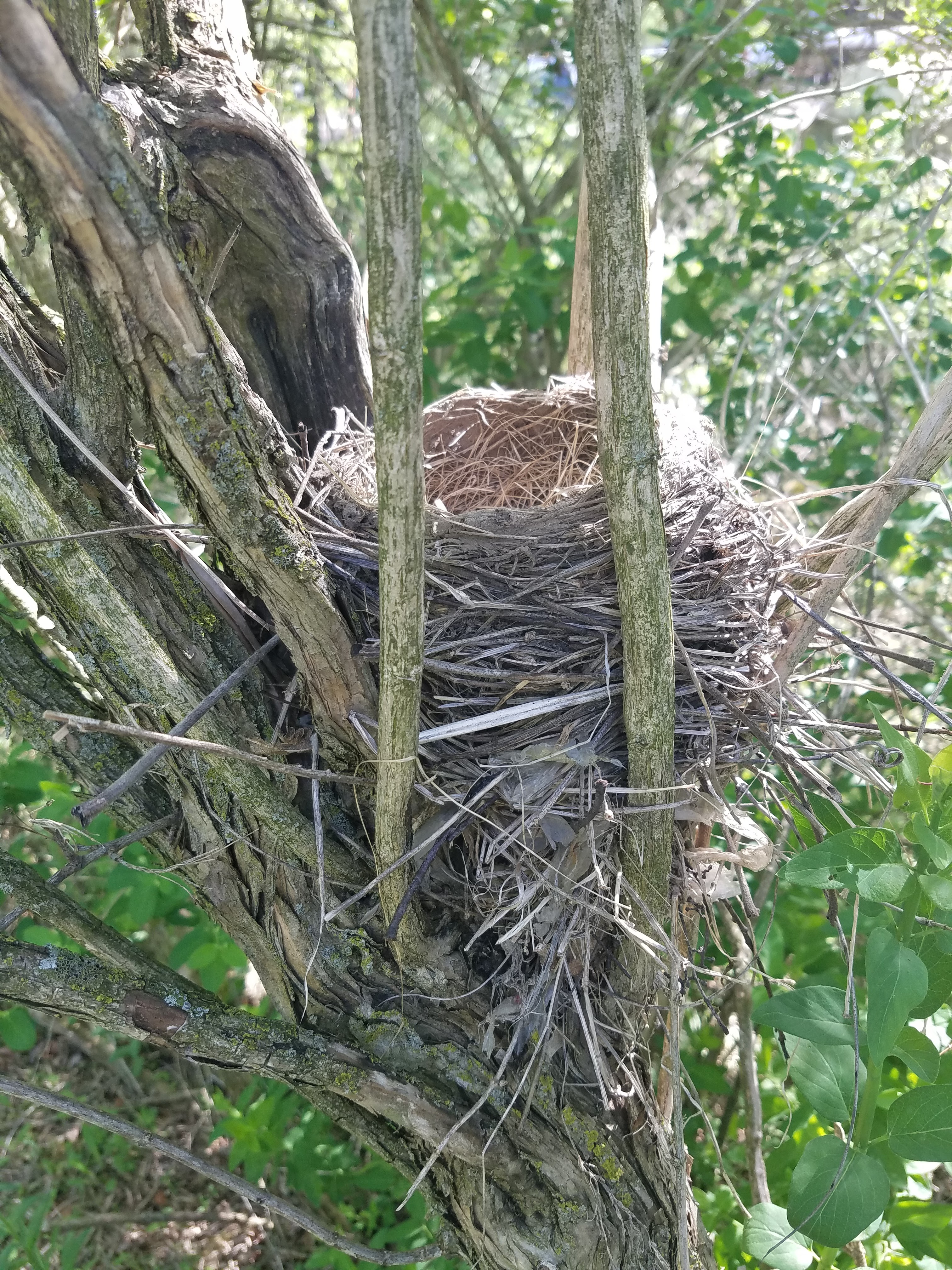
And here is another spring sighting - a Jack in the Pulpit.


We were now traipsing up and over the southern leg of the Cross Moline (more that than a dragon I suppose) to once again crest the top of the hill which has given way to agriculture, or at least to an area that was once farmed but has now been reclaimed as prairie.


Then down in the woods we encountered yet another sign of spring, the May Apple.


Myself, I didn't know what kind of day I would encounter tomorrow, so instead or walking down the road I decided to head south down the trail, and I took it at a rapid pace. I'm not going to count those as trail miles today. Instead I'm counting it as 'Extra hiking', assuming of course I rehike it tomorrow as planned. (UPDATE: I did indeed hike that section again the next day, so I got to count it as 'extra'.)


Of course, our intention was to continue our hike, so the next thing we did was leapfrog our way up the trail a ways.
Our next leg ran from the intersection of Hwy 69 and County Road A, where we were able to park without too much trouble, down to the waiting car on Frenchtown Road, about 1.3 miles give-or take. This starts by following the Badger State Trail bike path, so as expected it was a level, wide, gravel pathway, and we found it in very good condition. We started this leg at 1:33 pm, and the temperature was up to 82 degrees. Too hot by far for a day in mid-May, but far less than yesterday. I'll stop talking about the weather now, except to say that we reached a high of 85, and with the direct sunlight it was a whole lot nicer using an umbrella to create some shade.


We eventually parked along Sayles Road, not far from the driveway of a farm, where the trail crosses the driveway a few feet from the road. There are signs indicating that it's private, but I believe that's more for the cars that would otherwise park there rather then the hikers who would walk the 30 or 40 feet up the driveway to access the trail. That gave us a 2.2 mile leg rather than the full 2.8, which was plenty far enough. To be precise, I dropped Theresa off at the trail and I parked about a quarter of a mile up the road and walked back.
We're both tired. We're both sore. We have blisters forming beneath other blisters, Theresa is walking on a permanently damaged right foot and our joints ache and complain as we go. It's hot and walking has become hard work, even when the trail is on the flat. But we push on anyway.
This photo below shows the crossing at Sun Valley Parkway.

Columbine.


For our last hop we went to the end of the Segment and parked at Purcell Road, leaving us a 0.6 mile walk to the finish line. This was a somewhat meaningful spot for us because we were once again 'touching the river', and bringing our continuous line all the way from St. Croix to Belleville, Wisconsin. A psycological boost, though somewhat less meaningful to us now that we have firmly decided we will go back and hike the miles we previously biked. When we do, the river will once again follow us through phase two of our adventure.


I hoofed it up the road to get the car and come back to get her, then we drove back to pick up the launch vehicle, the entire Montrose Segment behind us.
But why stop there?
Location 2: Part of the Connecting Route between the Brooklyn Wildlife Segment and the Monticello Segment, from the town of Dayton to the north trailhead of the Monticello Segment.
2.4 miles of trail covered
2.4 miles of trail covered
South of the Brooklyn Wildlife Segment is a 3.7 mile connecting route that is one of the last bits of anything we have left in this part of the state. It's the last thing we have to do to finish off Green County, other then a bit of re-hiking (that's a story for another day), but there was no way we would finish the whole thing today.
That said, we didn't want to tack it all onto the end of tomorrow's hike on a go-home day, and we certainly didn't want to come back, so it made sense to get some part of it done today.
We had no idea how far we would get, so we bit off chunks starting at the north end of the Monticello Segment, first parking at the intersection of W and 92 (poor parking at best, and under construction) and then again in Dayton itself.
When we finally crossed the river in Dayton within sight of the waiting car it was 7:35 at night and there was no way either one of us was willing to hike the last 1.3 miles to finish the CR. Would it have been possible? Yes. But tomorrow was definitely soon enough, and we've been pushing too hard, way past the point where this is fun. Tomorrow is another Snail Hike - for our last unhiked Segment - so we decided we would call it quits and try to save some joy for another day.

Running Total: 1170.9 miles of trail covered, 158.1 miles 'extra' hiking/biking. End of Day 172.
No comments:
Post a Comment