Day 166: Indian Lake Segment, Dane County
Day 166: Sunday, April 24th, 2022
Total Miles covered for the day: 3.5
Location: The Indian Lake Segment
3.5 miles of trail covered
The month of April has been a complete blur. We have put seven segments behind us comprising over 56 miles of trail, plus nearly 37 miles of connecting route. Today is our last planned hike for April, but given our track record this month I'm not ruling out anything over the next six days. By the end of the day this was extended to eight segments and over 100 total miles.
Today was yet another official Snail Hike, and while we do enjoy meeting all the other hikers and giving out Snail patches, the sheer number of these events and the demanding schedule has proven to be a burden. Even so - with every passing event and every segment completed, we find ourselves closer and closer to our ultimate goal and are buoyed by the very nearness of the end.
Yesterday I made the mistake of pushing beyond the limits of what we should have done, and it had a serious impact on today's hiking. We woke early enough at our hotel but for Theresa it had more to do with being in pain and unable to sleep late. I tried to make up for that by bringing her a breakfast of waffles covered in sweet stuff. This also proved to be a poor decision on my part and Theresa was barely able to start the hike, let alone finish, because her whole system was out of whack.
It was a shame, really. Today was an absolutely perfect day for a hike. By 9:30 am it was already 61 degrees, and it hovered there or just a few degrees warmer all day. And there was such a delightful group of hikers waiting for us at the start of the day, too.
Which is where our Ice Age Trail day really began. Fifteen of us met in the parking lot at the Dog Park to exchange names, smiles, patches and rides to wherever people wanted to go to start or end their hikes. The Indian Lake Segment is not quite a loop, but the two places where it touches Hwy 19 are only 9/10ths of a mile apart. That meant we could meet, shuttle cars to the end, then come back to the starting point and hike from there.
It was a little windy today as evidenced by the coats, hats and wayward hairstyles, but if you look closely at the photo you'll see that Theresa is, once again, comfortable in only her shirtsleeves. Yes - that's just a T-shirt.
I don't know all the names - goodness, I've gotten to the point I can't remember any of the names anymore - but the woman in dark denim in front of Theresa is a friend of ours, Sue McCallum. We didn't know she would be joining us today, and it was delightful having her company.
Shuttling cars and people around took the better part of a half hour, and we got underway just before 10:00. Some of the hikers had pushed on ahead of us, but several hung around for the 'official' start when The Snails started walking.
There are a LOT of people who come here to walk their dogs in the large off-leash park. They all, like us, start off walking west and downhill to get to the bridge that crosses Halfway Prairie Creek. Despite the readily available bags and explicit signage, one is well advised to watch their step for 'dog presents' on the trail.
The wide open field that started the journey was an invitation to take the day at a jaunty pace, but that was when all the hiking, the lack of sleep and my very unfortunate choice of breakfast for Theresa caught up to her and she started feeling faint. Her blood sugar was spiking and her blood pressure was shooting through the roof.
Fortunately for us, there were ample benches in the dog park area, and Theresa took advantage of them as needed.
Most of the group hiked on ahead, but a couple of folks stayed with us. Sue and one other person became our hiking companions for the rest of the day.
The first part of the hike doesn't have much by way of elevation changes, and it remains very open until it approaches the south side of the lake.
When we got to the edge of the lake we started seeing some forest flowers popping out. This was a new one for me. I'm pretty sure it's Large Leaved Waterleaf (Hydropyllum macrophyllum).
 |
| Large Leaved Waterleaf (Hydropyllum macrophyllum) |
It was a beautiful walk along the lake on a broad gravel path.
The trail remained flat and easy until we reached the one-mile mark, where we turned away from the water's edge and headed up into the hills. We gradually but steadily gained elevation until we had climbed over 150 feet from the waters edge.
The trail was well-marked as we walked through the woods, as it was through the field. It was nice easy walking on a very broad dirt path.
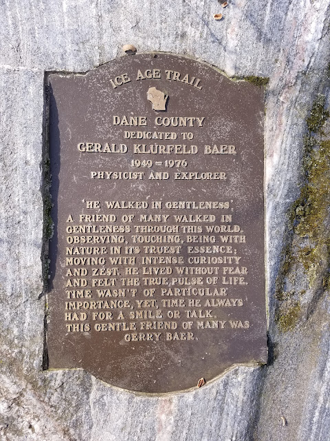
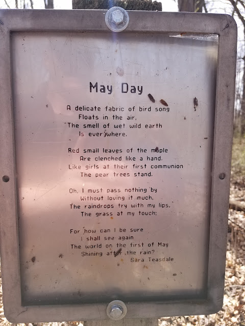
A few signs along the way gave us a reason to pause and to reflect on the beauty around us.
How about a little garlic to go with that mustard?
Easy walking through the woods. This is a well-used, possibly overused trail.
We peaked out at about 1100 feet in elevation, then had another gradual walk downhill again.
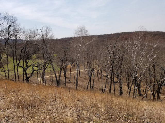
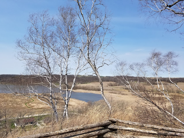
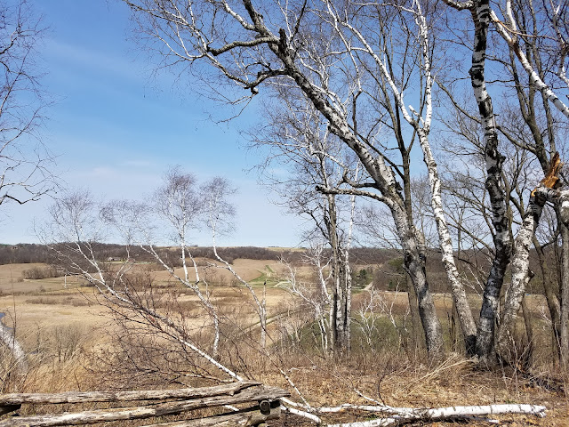
After turning north we came out into the open again, giving us a nice view of the landscape.
Just prior to reaching halfway creek again we walked past the Indian Lake Co Park warming hut/cabin located just west of the trail. There was no water, but there was a wood-burning stove. I'm fairly sure it's used as a shelter for cross-country ski season, and it was open here in spring. I'm not sure what the restrictions are for use, but if you call the Dane County Parks Department at 608-246-3896 they can give you more information.
For some reason I didn't take a photo of that building.
However, it didn't take us long to reach the parking area at the end of the park drive, where there were bathrooms, and even better, a side-trail leading up to the famous St. Mary of the Oaks Chapel.
Behind this sign is a steep gravel path with sections of boardwalk and numerous stairs that leads up the 175 foot climb to the chapel.
A fence surrounds the chapel, but it is just a decorative feature. Those making the hike are welcome to view and use the building. Be aware that it is little more than a place for one person with an altar.
The interior has been beautifully restored after some heinous vandalism some years ago.
I took this video from the hilltop. If your sound is on, you might want to mute it. It was windy up there.
And I took several photos from the top.
Once more I encountered some early spring flowers.
After hiking back down to the bottom of the hill, we resumed our hike north to finish the segment. This is the one place where there were not enough blazes to clearly mark the way, and a hiker without maps would have no idea that the segment continued north.
We had to hike along the park entrance road and north to Hwy 19, and once again the markings were totally inadequate. The segment used to end there at the highway, but it now extends across the road to the parking lot just to the northwest where the buildings below are impossible to miss. There should be some kind of indication that the trail goes that way, but there is not so much as an arrow pointing hikers in the right direction.
This ruin of a building is the old Matz Family Farmstead, and it is one of the most photographed ruins on the trail, if only because it stands out so boldly against the sky.
A second building is more intact, but still not open to the public.
Time has ravaged the building, but the current owners are maintaining the roof, so there is always hope for some future repair.
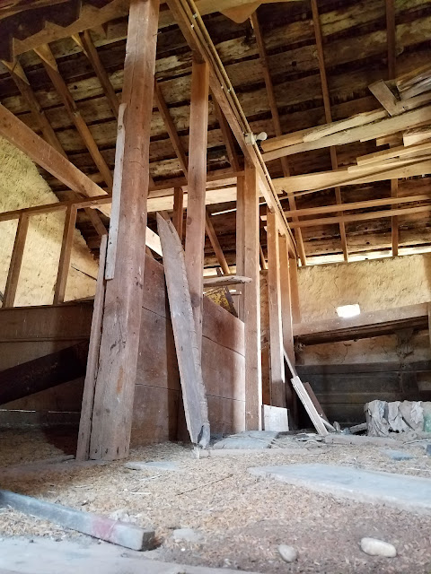
Glimpses of the inside of the building are difficult to come by, but I was able to snap these photos by sticking my phone inside a hole in the door and pointing in in different locations.
Theresa was totally wiped out at this point. She had rallied earlier in the day to overcome a physical collapse, and the fact that there was still almost six tenths of a mile to go wasn't good news. A couple of years ago this Segment ended at Hwy 19 but now it goes past the ruins and up the valley. It's a nice walk, and it gets you off the road for a bit.
We did take a short break for Theresa to get a third wind, and then she drove me up to the end of the Segment so we could crisscross the last little bit. We did this because the segment now ends in a ridiculous spot on the side of the road. There is nothing by way of parking that wouldn't get you towed, though there is enough room to pull off to the side while you load or unload passengers. It's not a great place to end the Segment.
So at 1:07 pm I found myself staring down the hill towards that very tall sign again (we were here yesterday walking the road to the north).
I found this very interesting tree right there in that first cluster, and I'm embarrassed to say I don't recognize the species. I noticed as I walked that west of where the trail actually lies there is a loop that goes out around the edge of the field, as though the original intent had been to go that way. There was even a semi-permanent bench that looked suspiciously Ice-Age-Trail-ish overseeing the mown field.
'Hmm', thinks I. 'Nice spot for a deer stand. Wonder how that bench got all the way over there?'
That bench is not in this photo, but this is what the trail looks like headed down the field. It was recently mowed, and I was very glad of that. This could have otherwise been quite unpleasant.
Far off in the distance, I spotted Theresa and our one remaining hiking companion making their way north from the ruin.
And, after crossing paths, they headed north and I took this shot.
If you zoom way, way in, you can see the aforementioned bench in the photo above. The official trail heads to the right following the green line but on the edge of the woods is this resting spot. Maybe there was a barter with the landowner?
I finished my hike at the ruin and got in the car so that I could pick Theresa up at the end of the trail. Here she is coming up the field.
And here we are at the end. There's a smile on our faces, but I can tell you that that's mostly just relief at having survived the last three weeks of constant hiking.
So we didn't cover many miles today, but we did achieve some humongous goals. 100.4 miles for the month of April (121 miles in the last 30 days back into March). Eight segments hiked. Two more counties completed. And - perhaps best of all - we completed map 64 today and have now extended our river line all the way from Map 1 onto Map 67 at the end of the Montrose Segment.
We have only four Segments left to go, plus a few miles of connecting route before we start circling back and revisiting all those places we biked in the past. I have no idea when we'll actually be done-for-the-last-time-and-for-real-done, but this is feeling closer all the time.
Running Total: 1111.2 miles of trail covered, 156.1 miles 'extra' hiking/biking. End of Day 166.


