Day 185: Connecting Route Chippewa County
Day 185: Sunday, June 5th, 2022
Total Miles hiked for the day: 10.8; Net Miles 0.0
10.8 Miles of trail covered
There is another long connecting route that starts just west of Cornell and extends through town, then south a few miles on County Road EE before heading west towards Taylor County. It was this piece of roadway we decided to tackle today, working to shorten up the driving time needed to get to the farthest point of any of our remaining gaps.
Theresa and I had biked this whole connecting route in two parts, in July and September of 2013. That feels like a very long time ago, and I can tell you from experience that the miles go faster on a bicycle.
Even after finishing more than ten miles today, we still have just over 200 miles of roadway left to hike. We're doing everything we can to knock off the miles that are farthest from home first.
With only one car available we needed to do crisscross hiking. Theresa dropped me off at the north end of the CR right at the trailhead sign for the Chippewa River Segment and I started walking south while she went into town and parked on the far side of the bridge to walk back my way. The time was 10:00 am and it was already 62 degrees, but that was about as warm as it would get today.
When I got to Bridge Street, so named for the giant blue steel span bridge that is somehow not the key feature of this town, I crossed paths with Theresa, but she wasn't alone.
I think it was the Facebook posts that alerted Vicki Christensen that we were in the area. Vicki very much wanted to join us for a bit of road walking. Not because she needed a patch (she already earned that a few weeks ago) but just because she thought it would be fun walking with us. Go figure. So she somehow knew where we would be hiking today and she spotted Theresa on the road. Vicki pulled over and parked and flagged her down so that she could walk the rest of the way with us.
I continued south and east while Theresa and Vicki headed north along the road I had just walked.
Bridge Street is even busier than Hwy CC. I wouldn't want to walk across it with a dog who was anything less than well-trained and on a leash. There just isn't enough room for pedestrians.
The walk through town includes a trip past both Dylan's Dairy and the Main Scoop, two competing ice cream stores. Both are worth visiting, and if you're there at night, Dylan's Dairy has some great evening fare available.
I'm not sure where the route through town used to go, but Vicki told us it now travels down Main Street all the way to 5th, where there is a restroom available in the park. The restrooms don't show up on the maps yet, so those are good to know about. The trail also goes past a 24-hour laundry and a grocery store, so Cornell can truly be counted amongst the most convenient towns on the IAT.
Saying good-bye to Cornell, we started crisscrossing our way out of town.
 |
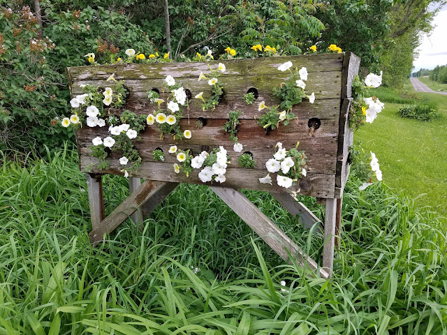
| Yellow Goat's Beard |
There was quite a bit of traffic on the road. I had taken to collecting aluminum cans along the side of the road, using a plastic bag I picked up on the way, just to kill time while I walked.
They I got a call from Theresa. When she tried to park on the side of the road on 170th Ave just off of County Hwy EE, some jack-noodle in a pickup truck came roaring up and telling her she couldn't park there. There are times when it's worth telling ashpoles like this guy that it is perfectly legal to park along the side of the road as long as it's within the public right-of-way, and that the land he was chasing us off of was not technically his land, and there are times when it's just not worth the fight. In this case, the guy looked like the kind who might 'accidentally' nudge your parked van into the ditch while you were away from it, so Theresa chose to use discretion and avoidance just so we could get out of there without damage to our car. She parked on the other side of EE and picked up the phone to call me.
"Stop picking up cans and get yourself up here. We need to get off this piece of road as soon as possible."
Then she told me what she was dealing with and rightly described that two mile stretch of roadway as 'hostile territory'.
So I stretched it out a bit and picked up the pace. I was able to get to the car without incident and I drove back to pick Theresa up at the north end where I started, though I had to wait a bit. After a brief discussion we decided to hike one more leg to get us another mile and a half further south and away from future encounters. And so we did, taking one more hop that got us down to 155th Avenue. That was plenty for the day.
On the way home I decided we should drive up to Mondeaux Dam and have dinner at the Mondeaux Dam Lodge. We did drive there, but unfortunately we discovered it has been closed for quite some time while it was undergoing major renovations.
We didn't get anything to eat while we were there, but we did happen to cross paths with Nol Marschke, who was in charge of final preparations while they were getting ready to reopen. He gave us a tour of the new building, which was quite a bit nicer that we remembered from eight years ago.
We also couldn't buy a beverage, but Nol gave us a couple of sodas for free, just because. We gave him and his buddy snail patches. What a nice guy. I hope he does well when they reopen this summer. He's thinking maybe they'll be ready by the 4th of July.
The tally:
- Two new Snails
- Completed maps 16 and 17
- Converted 10.8 miles of biking to the 'hiked' category
- 202.7 miles to go
Running Total: 1212.3 miles of trail covered (934.3 hiked), 229.1 miles 'extra' hiking/biking. End of Day 185.


No comments:
Post a Comment