Day 187: Connecting Route (x3), Lincoln County
Day 187: Wednesday, June 8th, 2022
Total Miles hiked for the day: 6.2; Net Miles 0.0
Location 1: The Connecting Route between the Alta Junction and Underdown Segments.
1.2 Miles of trail covered
Another weeknight, another one-hour drive to clean up some little bits of roadway.
We started out with a drive to Lincoln County, to the south end of the Alta Junction Segment, where Theresa dropped me off for a quick hike along County Road J and Copper Lake Avenue.
Note the dapper new Ice Age Trail hat I got at the David R. Obey Interpretive Center. Cool, huh?
OK, that was awful. Here's a better photo. Of Theresa, anyway. Can't see my hat on this one.
This was a flash crisscross hike. Theresa drove down to the parking area on the north end of the Underdown segment and walked the other way.
It was a short hike, but I saw flowers...
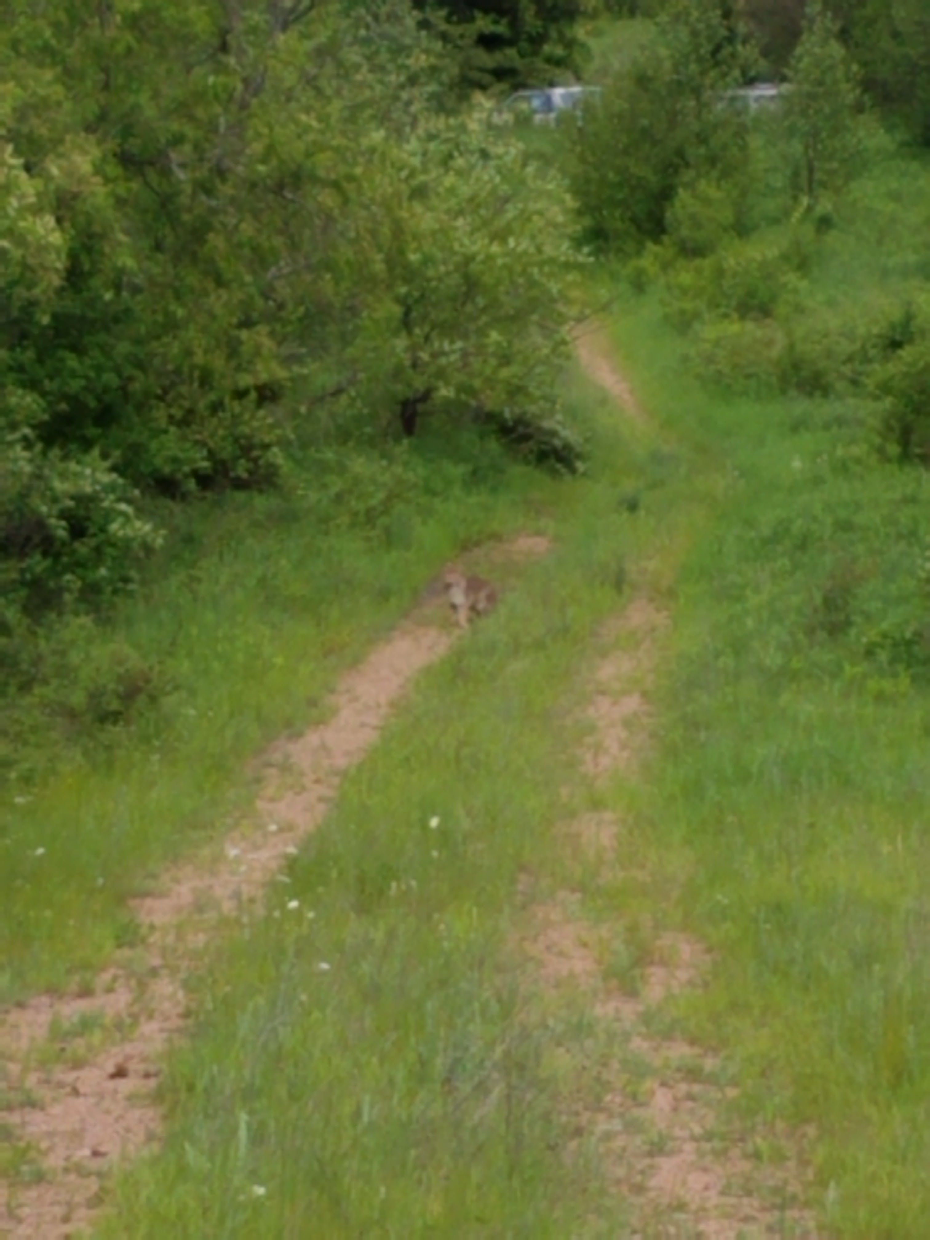
I'm really peeved at my cell phone camera. Sometimes I can take a picture of a dime from 100 feet away and zoom in until I see the date. And then other times, like with the bobcat, I can take six or seven pictures and not one of them has enough details to make you say, "Oh - cool! a bobcat!" Instead, you have to take my word for it that the fuzzy little blob in the middle of that last photo was a bobcat.
So yes, even the short road hikes can be exciting. It took no time at all for me to reach the other end, and I went back to pick Theresa up for the next jump, just down the road.
Location 2: The Connecting Route between the Turtle Rock and Grandfather Falls Segments.
2.1 Miles of trail covered
The next logical thing for us to do was slip over two maps to the cobbled mess of a trail that is the Grandfather Falls area. Working our way west to east, we decided to tackle the short piece of road on the west side of the river.
Theresa dropped me off at Turtle Rock and drove to the other end along Hwy 107 so we could crisscross this scenic bit of road. While she walked north along the river's edge, I walked downhill along County E.
I strolled down all the way to the river and halfway across the bridge before I found anything interesting to take a photo of. This is the view from the bridge back to the hill I just came down on County Road E. As you can tell, the skies were grey, but it was plenty warm and there wasn't much wind. The Wisconsin River had barely a ripple on it.
There are a lot of these near the river. If you had to come up with a name for them you might even think of the same one that already exists. These are cinnamon ferns.
Theresa was in fine spirits, and was trucking along with a jaunty step.
That trip ended well, and it was only 6:45 pm, so per plan we headed over to the other connecting route on this map, the 10.4 mile leg from Grandfather Falls and eastwards. We wouldn't get it all, but we could definitely make it smaller.
Location 3: Part of the Connecting Route east of the Grandfather Falls Segment, from the IAT Segment to the intersection of Tug Lake Avenue and South End Road
2.9 Miles of trail covered
Together we went down to Camp New Wood County Park to take a photo and use the facilities. This is the only place we encountered where the Connecting Route forms a T-Intersection with the trail, meaning that hikers need to hike a stub in one direction before continuing down the trail in the other. Another such location exists now in Portage, but when we hiked it we continued north on the Marquette Trail Segment and no backtracking was needed. That segment is no longer in existence.
I have complained before that the trail as it exists today on this map is completely squirrely.
Someday I suppose it will all make sense, but for now hikers need to go significantly out of their way to hike the Segment. This adds about a mile and a half of redundant hiking along the road on Hwy 107, which is about 1.5 miles too far. This is a curvy, hilly piece of road with blind corners and too much traffic, and I didn't like walking on it.
Still - there were things to see. Like these colorful chives.
This is the bridge that leads from the parking lot north on the trail. It is technically not on the trail, though, because just across the water is a somewhat poorly marked spot where the trail goes right and forward.
When you follow that intersection to the right about 150 feet you come to the road, which is where the connecting route starts.
You have to be a little careful stepping off the trail around here. All this lovely greenery is actually poison ivy.
I was walking the road north while Theresa was parked up north somewhere hiking south. Then I came across something else that I've been looking for for the last 30 years or so. It may not seem as exciting as seeing the bobcat, but for an old bug-hunter like me this was actually the highlight of my day. Behold, the hellgrammite.
This is the insect equivalent of a river shark. It is as long as my finger, and spends most of its time in fast moving water like the falls and rapids below, hunting anything that moves up to about twice its size. Most fish eat insects. This insect returns the favor. I had never before seen one alive, and I've always hoped in would. It took more than thirty years, but I finally spotted one.
We both hiked fast to try and get off Hwy 107 and at least get to Tug Lake Road.
Which we did. But because there is basically no parking there, we ended up stretching the night out a little longer and working our way up and over the hill to South End Road. This last stretch of road leads straight up (for me) or down (for Theresa) the hill from/to the Wisconsin River.
We ended the night having completed about 2.9 miles more than we expected, which was great. If we come back here tomorrow we can write off map 28 once and for all.
The tally:
- No new Snails
- Completed map 30
- Converted 6.2 miles of biking to the 'hiked' category
- 191.8 miles to go
Running Total: 1212.2 miles of trail covered (945.2 hiked), 240.0 miles 'extra' hiking/biking. End of Day 187.


No comments:
Post a Comment